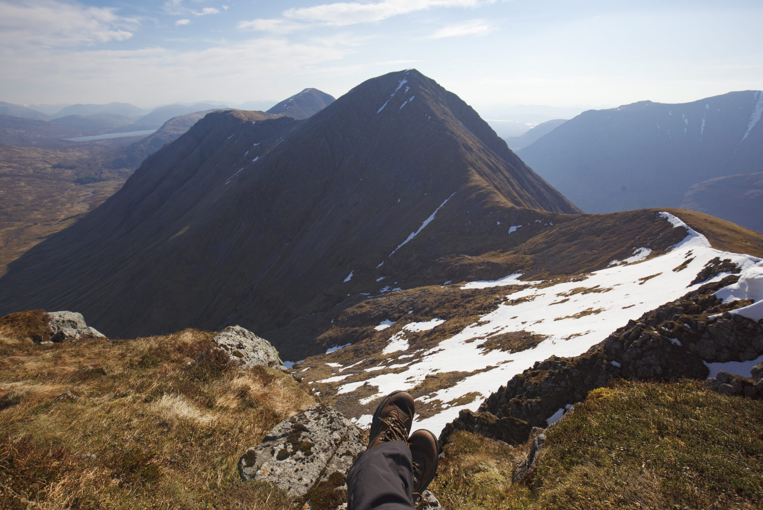
Snowdon height is a topic of interest for hikers, geography enthusiasts, and tourists planning to visit Wales’ most famous natural landmark. As the highest mountain in Wales and England, Mount Snowdon height reaches an impressive elevation that attracts over 500,000 visitors annually. Located in the heart of Snowdonia National Park, this majestic peak offers breathtaking panoramic views that on clear days extend as far as Ireland, England, Scotland, and the Isle of Man. This comprehensive guide will explore the exact height of Snowdon, its geological significance, and interesting facts about this iconic Welsh landmark. Whether you’re planning to hike to the summit or simply curious about Welsh geography, understanding Snowdon’s elevation in both imperial and metric measurements provides important context for appreciating this natural wonder.
What Is The Height of Snowdon?
What is the height of Snowdon exactly? Standing at 1,085 meters (3,560 feet) above sea level, Snowdon is the highest mountain in Wales and the highest point in the British Isles outside the Scottish Highlands. The precise Snowdon height in metres (1,085m) makes it a significant geographical feature in the United Kingdom.
How high is Snowdon compared to other UK mountains? While not as tall as Ben Nevis in Scotland (1,345m), Snowdon ranks as the third highest peak in the British Isles. How high is Mount Snowdon relative to its surroundings? It towers approximately 750 meters above the surrounding valleys, creating a dramatic landscape that defines the Snowdonia region.
For those who prefer imperial measurements, Snowdon height in feet is 3,560 ft. Many hiking guides and older maps still reference how high is Snowdon in feet rather than meters, so it’s useful to be familiar with both measurements.
The summit itself is marked by a cairn (stone monument), and on clear days, visitors to the peak can enjoy views spanning 100+ miles in every direction, making the climb to experience Snowdon’s full height worthwhile for many outdoor enthusiasts.
About Snowdon and Snowdonia National Park
Snowdon (known as Yr Wyddfa in Welsh) is the centerpiece of Snowdonia National Park, which covers 823 square miles of diverse landscapes in northwestern Wales. The mountain formed approximately 450-500 million years ago through volcanic processes, with subsequent glacial activity during the Ice Age sculpting its distinctive pyramidal shape and creating the cirques and lakes that surround it.
The mountain offers six main hiking paths to the summit, varying in difficulty:
- Llanberis Path (the longest but gentlest)
- Miners’ Track (historically used by miners)
- Pyg Track (offering spectacular views)
- Rhyd Ddu Path (the quietest route)
- Watkin Path (the most challenging with greatest elevation gain)
- Snowdon Ranger Path (one of the oldest routes)
| Trail Name | Distance (Round Trip) | Elevation Gain | Difficulty | Avg. Time |
| Llanberis Path | 9 miles (14.5 km) | 975m | Moderate | 5-7 hours |
| Miners’ Track | 8 miles (12.9 km) | 723m | Moderate | 5-6 hours |
| Pyg Track | 7 miles (11.3 km) | 750m | Moderate-Hard | 4-6 hours |
| Rhyd Ddu Path | 8.5 miles (13.7 km) | 895m | Moderate | 5-7 hours |
| Watkin Path | 8 miles (12.9 km) | 1,015m | Hard | 6-8 hours |
| Snowdon Ranger | 8 miles (12.9 km) | 936m | Moderate | 5-7 hours |
For those who prefer not to hike, the Snowdon Mountain Railway provides an alternative way to reach the summit and appreciate the mountain’s full height.
The area surrounding Snowdon is rich in both natural beauty and cultural heritage. The mountain’s slopes host rare Arctic-alpine plants that survived the last Ice Age, making it not only a geographical landmark but also an important ecological preserve.
Interesting Facts About Snowdon’s Elevation
The elevation of Snowdon has been precisely measured multiple times throughout history, with slight variations recorded. The current official height of Snowdon (1,085m) was established using modern GPS technology. Here are some fascinating facts related to Snowdon’s elevation:
- The English name “Snowdon” derives from the Saxon “Snow Dun,” meaning “snow hill,” referencing how the mountain’s peak is often snow-covered during winter months.
- Snowdon was used by Edmund Hillary and his team for training before their successful ascent of Mount Everest in 1953, specifically chosen for certain terrain features despite the significant difference in height.
- The summit building, Hafod Eryri, sits at the full mount Snowdon height and is one of the highest public buildings in the UK. It was renovated and reopened in 2009.
- The mountain is occasionally used for the Snowdon Race, where competitors run from Llanberis to the summit and back, covering the full elevation in record times under 40 minutes.
- On exceptionally clear days from the summit, visitors can see 24 counties, 29 lakes, and 17 islands due to the advantageous height and position of the mountain.
For visitors planning their trip, it’s worth noting that temperatures at the summit can be up to 10°C colder than at the base, an important consideration when preparing to experience Snowdon’s full height.


